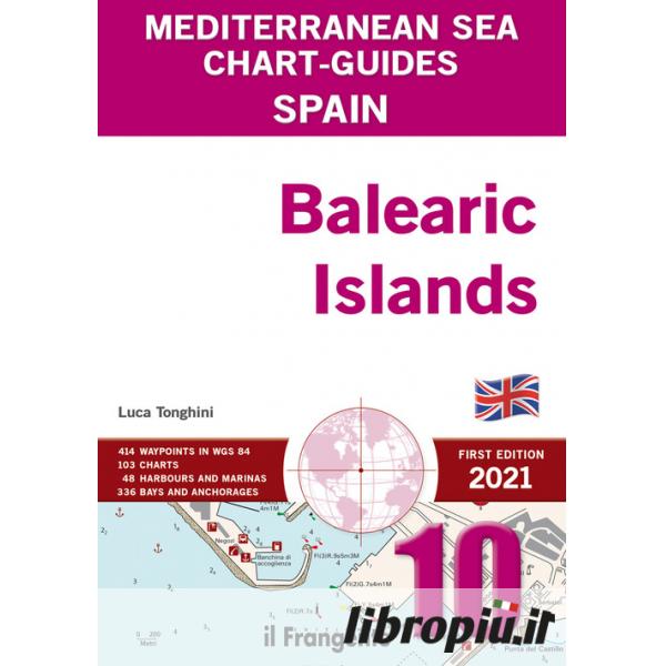
This pilot takes an indepth look at the Balearic Islands. Its 103 user-friendly charts show all of the available harbours, marinas and anchorages within this cruising area. The introduction includes a table with the main distances and routes around the islands, a list of printed and digital charts, as well as local weather information. The entire area is divided into five macro-zones. Each one has its own quick guide that includes waypoints, harbour and marina facilities (e.g. water and electricity, fuel, repairs, etc.) plus the main features of local anchorages (e.g. nature of the seabed, shelter, facilities ashore). At a glance, you will be able to decide where to head based on your yacht and the weather. This guide comprises 48 plans for harbours and marinas, and 447 plans for bays and anchorages, each with a wealth of practical symbols and overviews providing complementary information to pilotage notes so that you can sail with peace of mind. A handy wind-rose icon gives wind direction and exposure for each plan.